- What are the key topics/ technologies your group works on?
As AGH STARS group, our work is based on Earth Observation, so we use software providing satellite data like Google Earth Engine or Creodias from CloudFerro.
- What are you currently working on?
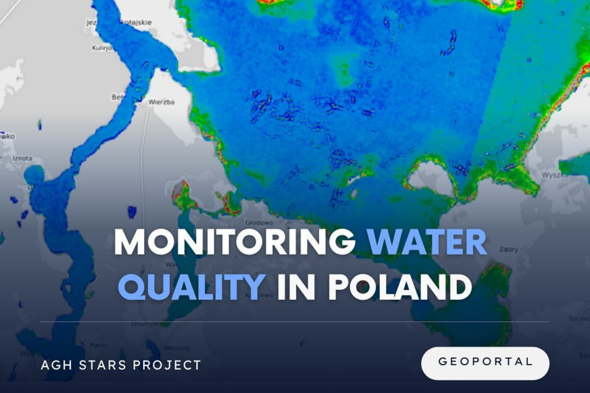
We are currently working in several teams. The first one is focused on developing a geoportal for monitoring the quality of inland waters in Poland. The second one is based on detecting types of rock from satellite data based on rock samples collected in Kosovo. For enhancing satellite date we use AI models, like Image Super Resolution. The third group is focused on precision agriculture. We are developing a monoculture index, which can be helpful tool for evaluating crop management.
- Have you received any awards, distinctions, or completed notable projects?
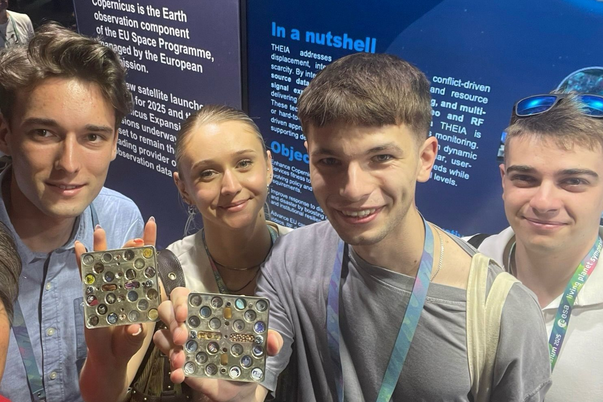
Members of AGH STARS take part in many of conferences. We got a third place in international contest Seize the beauty of our Planet for the best satellite image for Earth organized by CloudFerro. We got the second distinction on the First Warsaw Geographic Conference. We are also involved in AGH conferences, like the Barbórka Conference, where we took the first place.